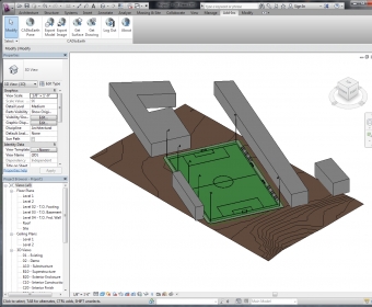
CADtoEarth for Autodesk Revit can establish a bi-directional connection between Autodesk Revit and Cesium. It allows you to create a personal account on the CADtoEarth web application and provides individual control over the visibility of uploaded data. CADtoEarth provides a wide range of capabilities, including an ability to import a section of the surface from Cesium into a modeling session with an applied satellite imagery.
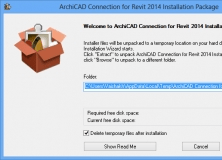
The Graphisoft ArchiCAD Connection is a an add-in for Autodesk Revit programs.
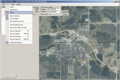
A tool for integrating the maps of your choice into the Virtual Earth API.
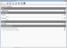
Create and edit your own configuration files to use with the Model Checker.


Comments